This product was funded by the European Space Agency (ESA) under the project "EO for the Port of the Future (EO4PORTS)" (4000143660/24/I-DT- EO Best Practice 2023 Industry Sector C).
Methods: Low Water Line mapping
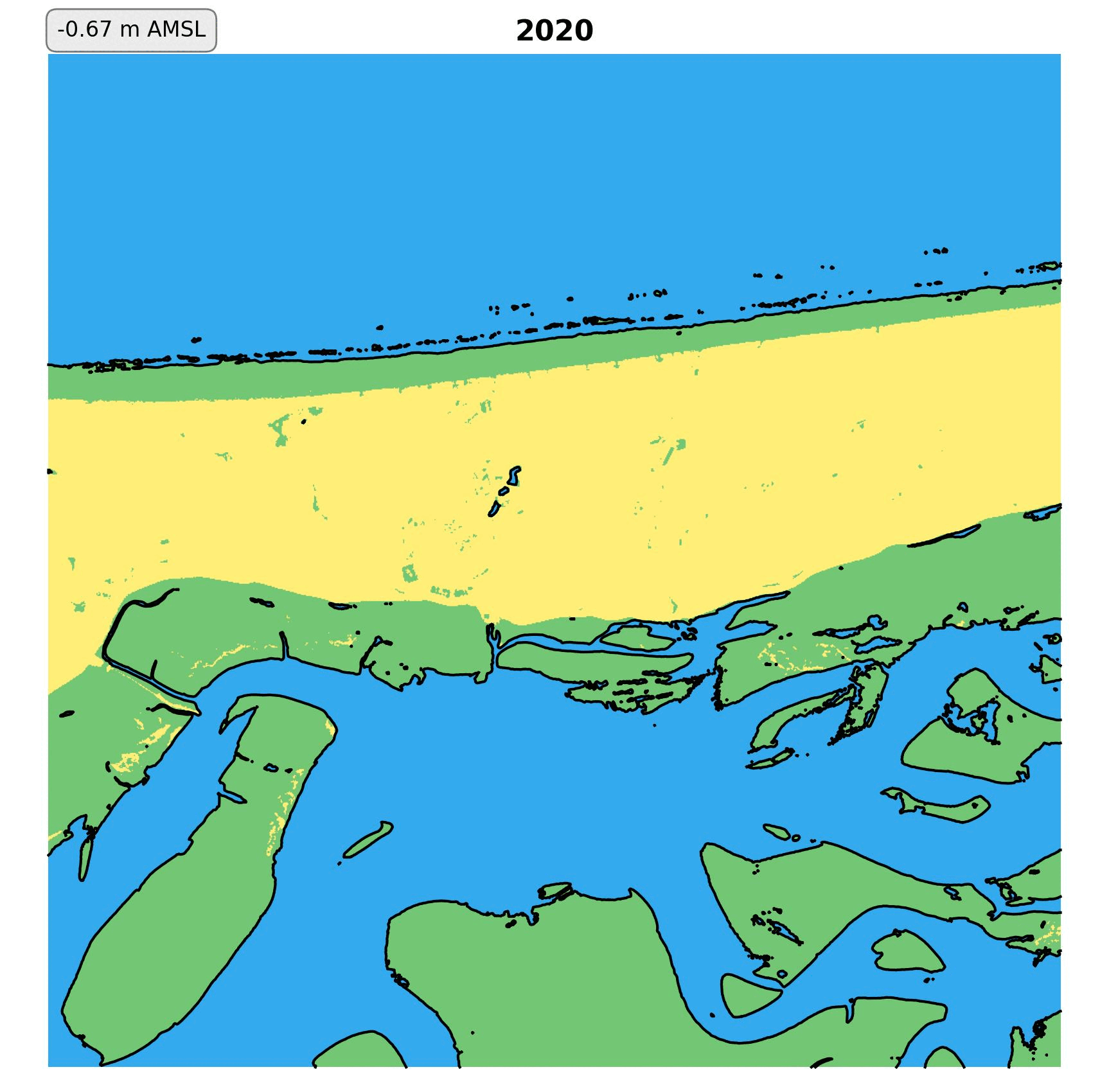
The step-by-step methodology developed to extract the Low Water line from publicly available satellite imagery is described below:
Retrieve imagery of AOI
All the available Landsat 5, 7, 8, 9 and Sentinel-2 images are retrieved from their respective collections.
The satellite images captured at low tide (bottom 30% of the springs tidal range) are used to compute a composite NDWI (Normalized Difference Water Index) image.
The 70th percentile is taken when calculating the composite to give more weight to dry pixels.
Extract the sand/water contours
Use the NDWI contrast between water and wet sand to extract the low-tide line from the composite as a vector line.
This process is repeated for each 10x10km grid cell shown on the map.
Downloads
Download the Low Water Lines for the North Sea/Wadden Sea region as GeoJSON at the links below: